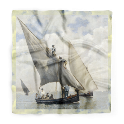
Twilly Celestial Map
An exclusive edition of the Maritime Museum
Twilly inspired by the celestial maps of the British physician Richard Brookes. The original maps, dating from 1820, represent the constellations of the Northern and Southern Hemispheres and the animals that hide in each.
An elegant and delicate accessory that illustrates the magic of the night sky.
| Material | Silk satin |
|---|---|
| Dimensions | 14,6 x 13 cm |
| Observations | Exclusive edition of the Maritime Museum. |


